
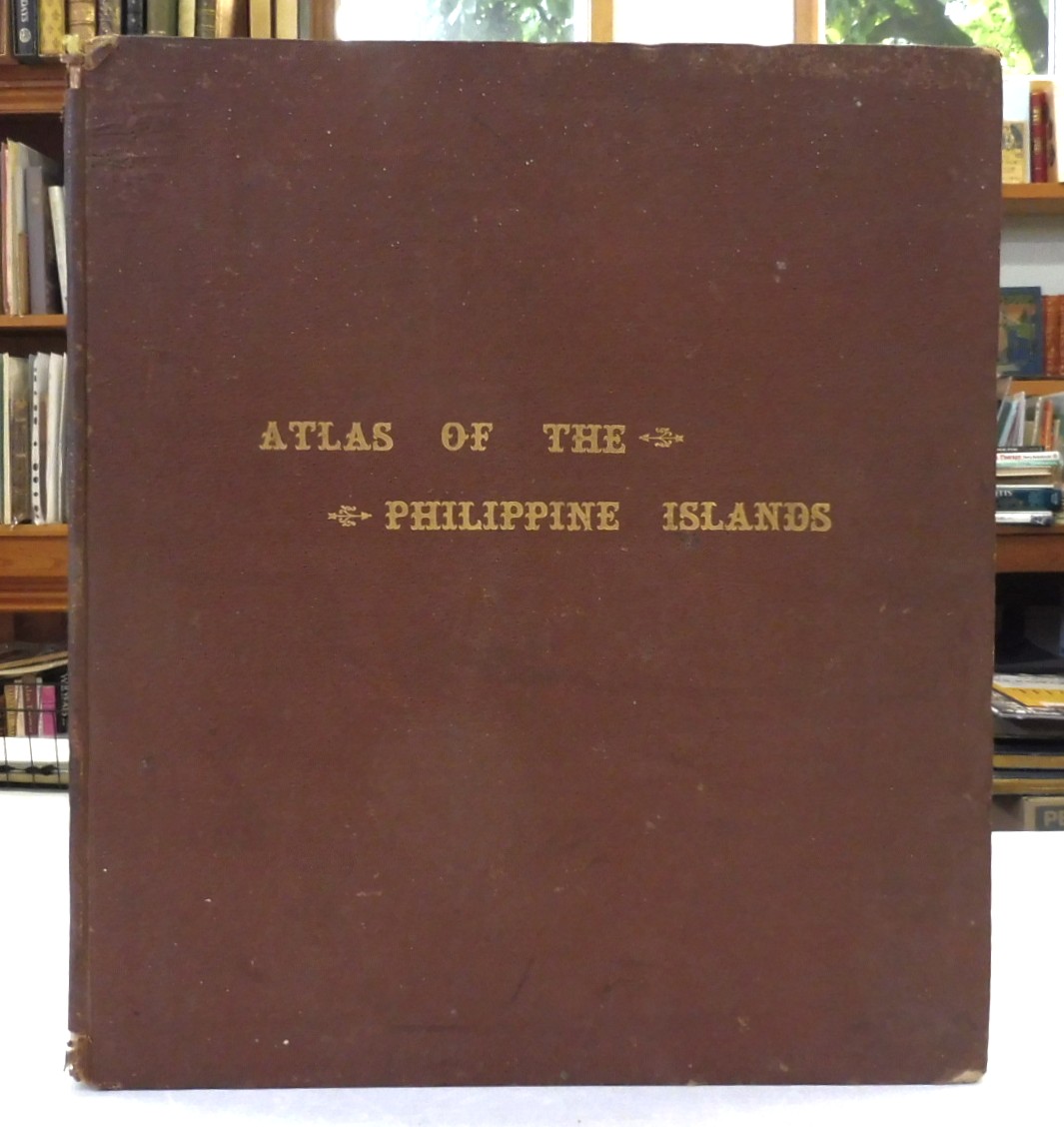
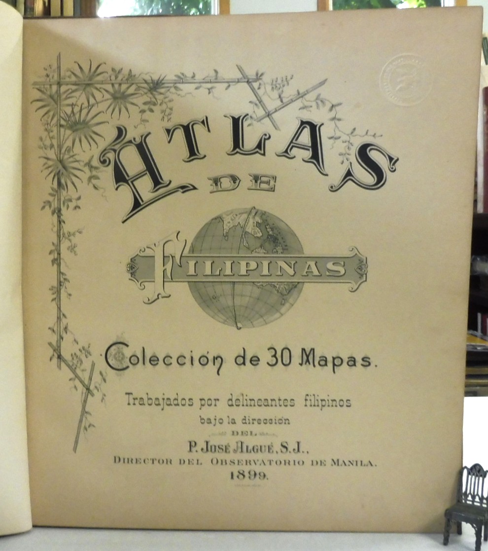
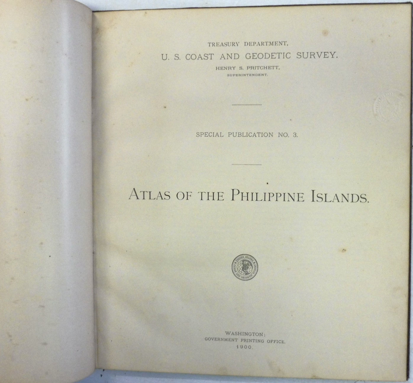
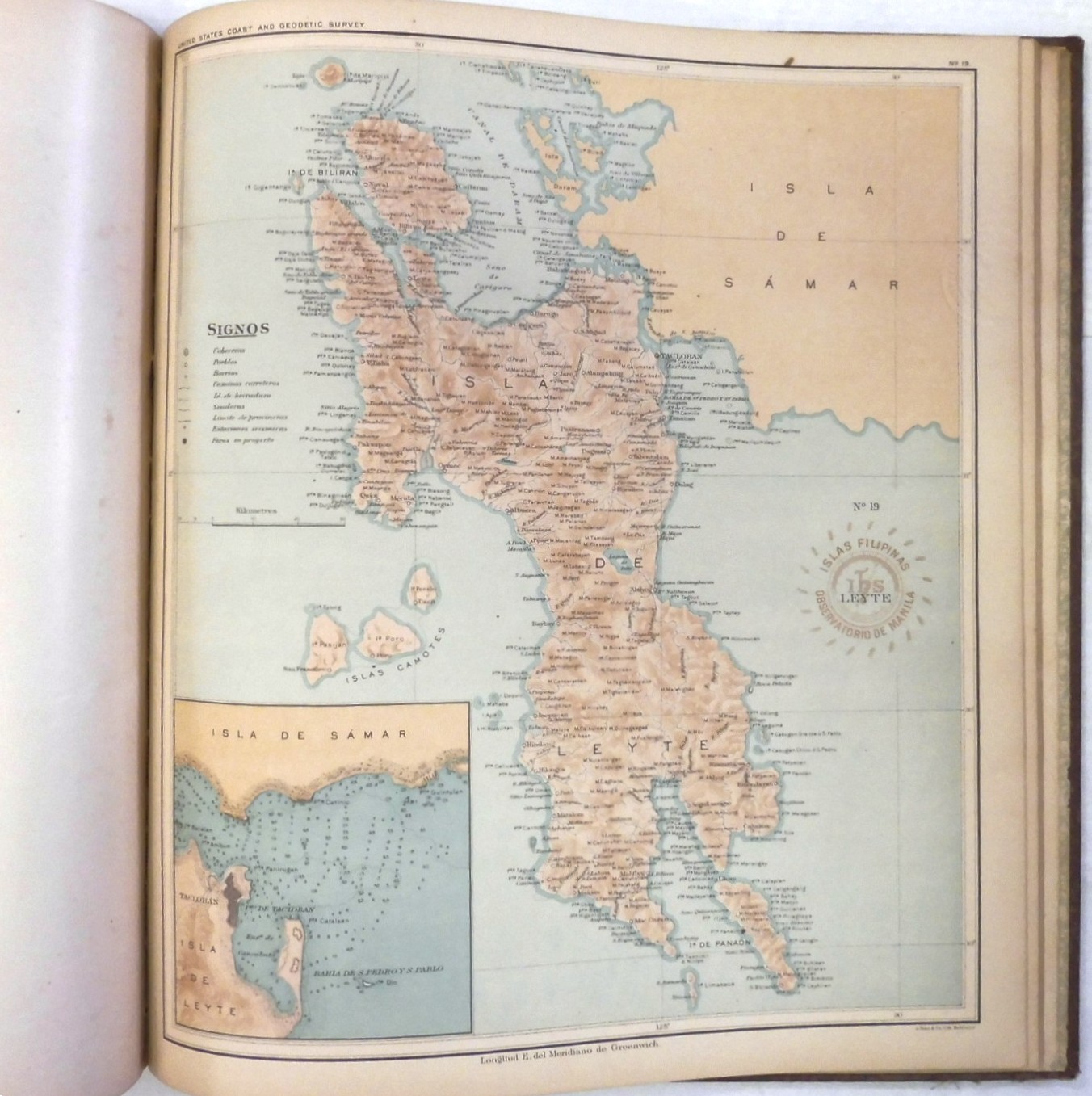
Atlas of the Philippine Islands, Pritchett, Henry S., U.S. Coast and Geodetic Survey. Published by Government Printing Office, Washington, 1900. Special Publication No. 3. Folio up to 15″ tall. Parallel title pages in Spanish and English, with the former dated 1899. 24pp., 30 full page color lithograph maps drafted by Filipino draftsmen under the direction of the Spanish Jesuit scientist Father José Algué. Brown cloth boards with gilt titles. In very good condition: free endpaper has piece cut off at corner and a label to pastedown; very light toning; small circular blindstamp from the US Navy to each leaf, maps are in fine condition; boards have moderate wear. Atlas de Filipinas. Coleccion de 30 mapas. Trabajados por delineantes filipinois hajo la direccion del P. Jose Algue, S.J., director del Observatoria de Manila. 1899.
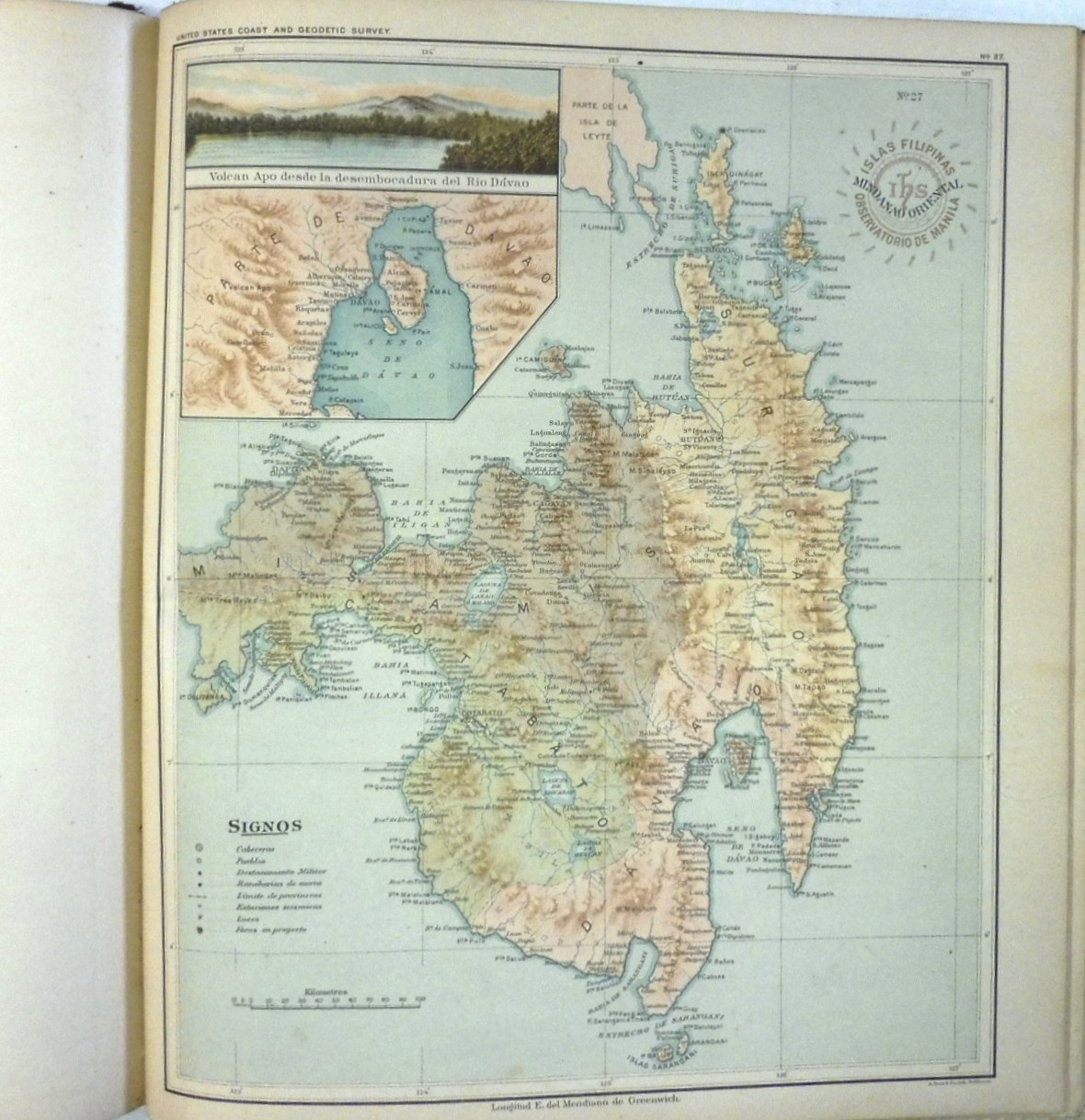
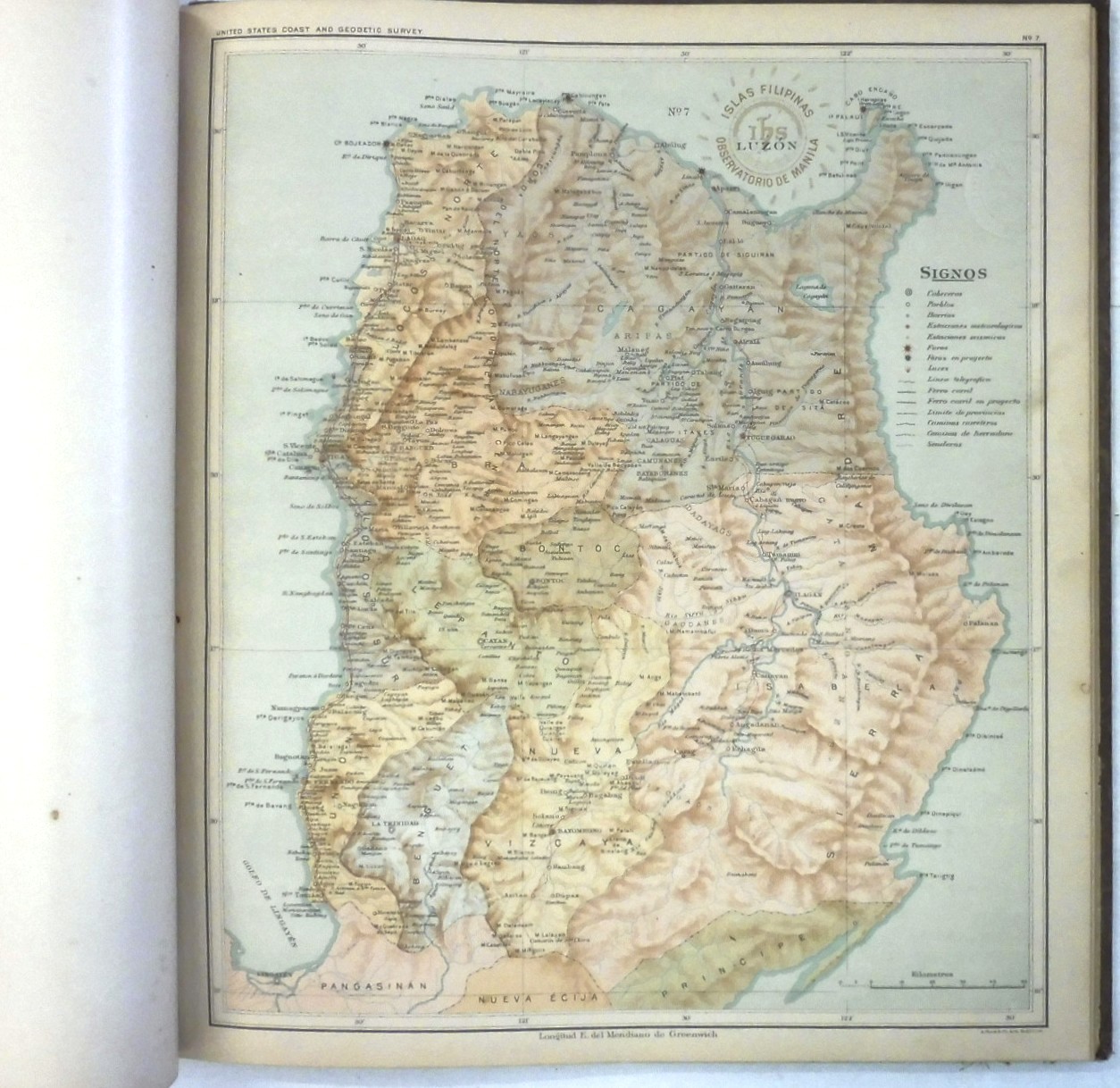
Atlas of the Philippine Islands, Pritchett, Henry S., U.S. Coast and Geodetic Survey
Maps and Guides etc., Non-Fiction, Other, Rare and Collectible$480.00
Related products
Interesting Finds
-
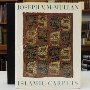 Islamic Carpets by Joseph V. McMullan - First Edition
$320.00
Islamic Carpets by Joseph V. McMullan - First Edition
$320.00
-
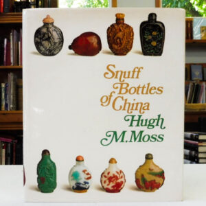 Snuff Bottles Of China, Moss, M.Hugh
$100.00
Snuff Bottles Of China, Moss, M.Hugh
$100.00
-
 World War I: An Illustrated History
$20.00
World War I: An Illustrated History
$20.00
-
 World War I, Willmott, H. P.
$25.00
World War I, Willmott, H. P.
$25.00
-
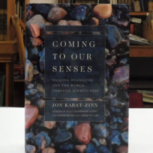 Coming to Our Senses, Jon Kabat-Zinn - First Edition
$30.00
Coming to Our Senses, Jon Kabat-Zinn - First Edition
$30.00
-
 Memories Of My Melancholy Whores, Gabriel Garcia Marquez
$30.00
Memories Of My Melancholy Whores, Gabriel Garcia Marquez
$30.00
-
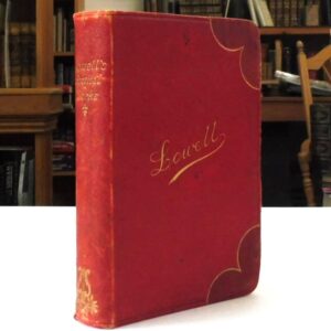 The Poetical Works of James Russell Lowell
$60.00
The Poetical Works of James Russell Lowell
$60.00